 |
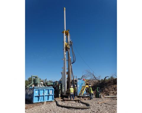
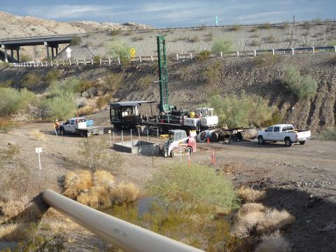
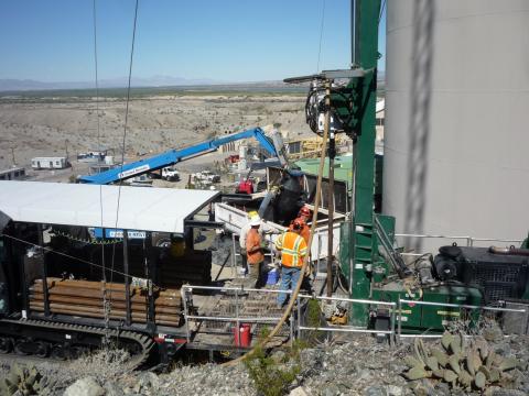
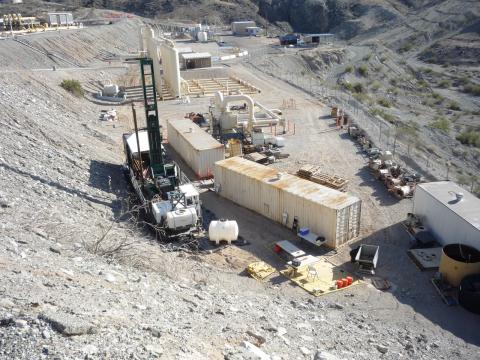
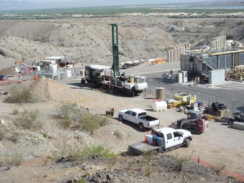
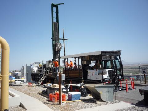
Drilling a freshwater well at the Site "B" fresh water investigation site in Arizona. |
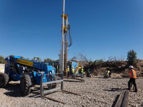 |
Drilling a freshwater well at the Site "B" fresh water investigation site in Arizona. |
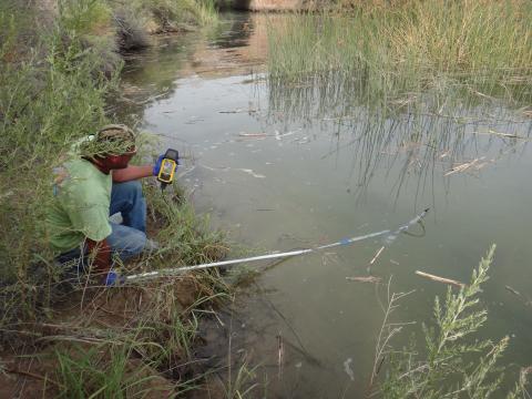 |
Topock Compressor Station (IM-3) employee, collecting water quality data from the bank of the Colorado River with Red Rock bridge in the background. |
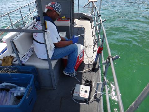 |
Topock Compressor Station (IM-3) employee, taking surface water samples from a boat on the Colorado river with a peristaltic pump in foreground. |
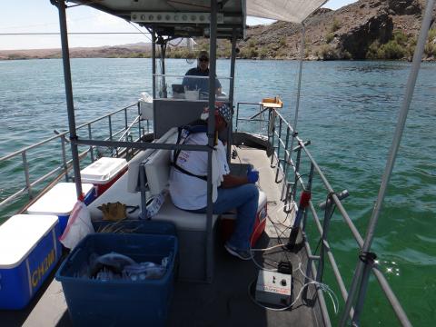 |
Topock Compressor Station (IM-3) employee, taking surface water samples from the Colorado River with sample coolers on the left and Captain Doyle operating the boat at the stern. |
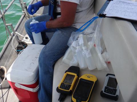 |
Close-up of Topock Compressor Station (IM-3) employee, taking a surface water samples from a boat on the Colorado River with empty sample bottles, GPS, and water quality instrumentation in the foreground. |
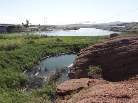 |
View of the wetlands (surface water sampling locations SW-1 and SW-2) toward the PG&E arch bridge, looking southeast |
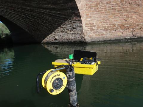 |
Data is being downloaded from the Red Rock Bridge transducer (a surface water monitoring location). This monitoring location is at Red Rock bridge under the national trails highway and at the mouth of Bat Cave Wash. |
 |
Drilling of the borehole for the future monitoring well MW-71-35 |
 |
Drilling of the borehole for the future monitoring well MW-74-240 |
 |
Drilling of the borehole for the future monitoring well cluster, MW-66 |
 |
Drilling of the borehole for the future monitoring well MW-69-195 |
 |
Drilling of the borehole for the future monitoring well cluster, MW-67 |
 |
Sampling MW-66BR-270 at the Topock Compressor Station (looking Northwest) |
 |
Sampling MW-66BR-270 at the Topock Compressor Station (looking Northeast) |
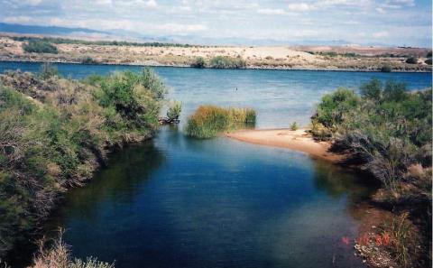 |
View from river sampling location (RRB), or mouth of Bat Cave Wash at the Red Rock Bridge, looking towards the Colorado River, circa April 2003 |
 |
Repairs to monitoring wells MW-38S, MW 38D and Old Well/Pipe Reconnaissance in 2013. The post‐repair photograph is prior to tire track removal and painting of the wellhead casing. |
 |
Groundwater sampling at Monitoring well MW-43 cluster in October 2006 |
 |
Pre‐repair photograph of MW‐38S and MW‐38D, circa February 2013 |
 |
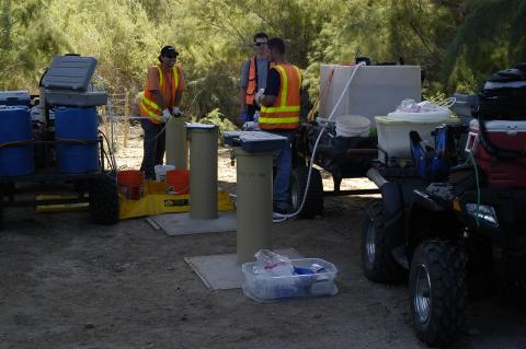
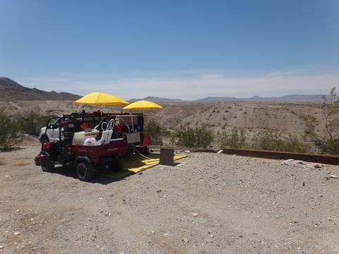
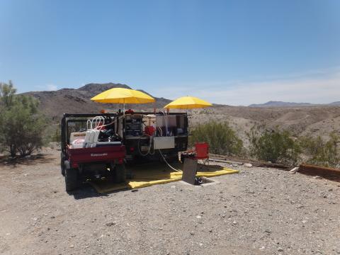
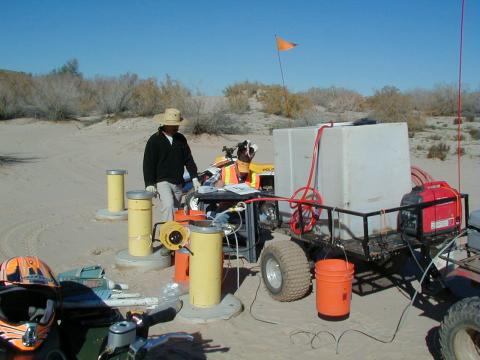
Groundwater sampling at the MW-33 cluster on the floodplain |
 |
Field worker on the floodplain setting up for groundwater sampling |
 |
Groundwater sampling near Topock Compressor Station (at TW-01, looking southwest). |
 |
Groundwater sampling near Topock Compressor Station (at TW-01, looking south). |
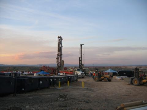 |
Drilling rigs on the East Mesa |
 |
Additional "pot-holing" activities from a different view point |
 |
Additional "pot-holing" activities to safely locate buried utilities within the Topock Compressor Station |
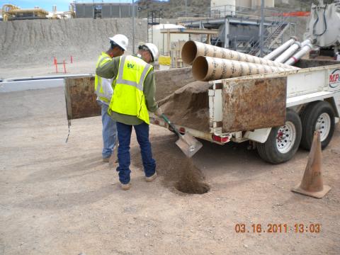 |
Filling in the "pot-hole" |
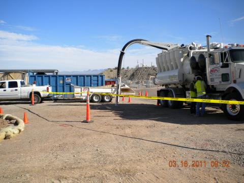 |
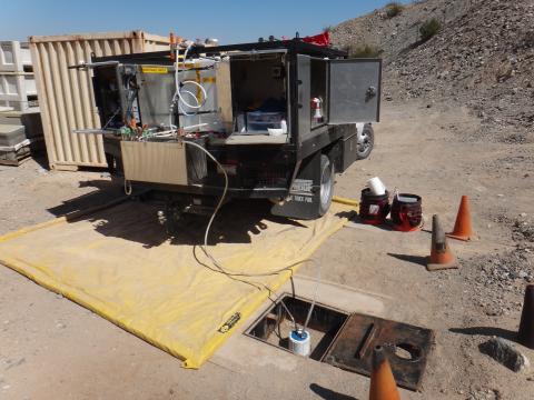
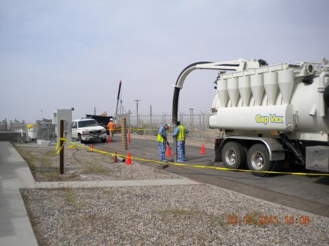
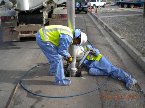
Use of a Vacuum Truck to "pot-hole" to safely locate buried utilities within the Topock Compressor Station |
 |
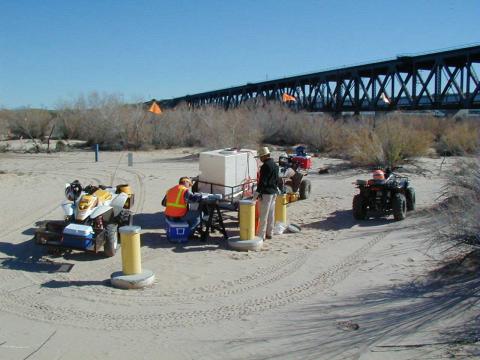
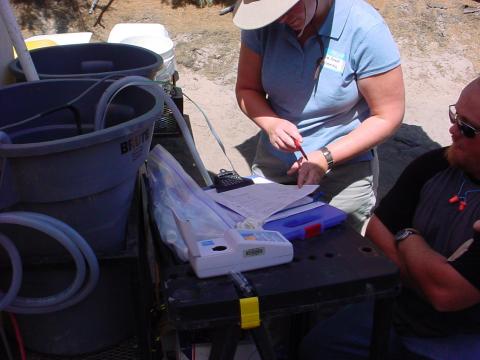
Sampling wells on the floodplain and discussing field parameters with Tribes, June 2004 |
 |
Sampling at MW-39 cluster on the floodplain in January of 2005, close-up view |
 |
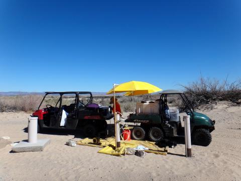
Sampling at MW-39 cluster on the floodplain in January of 2005, prior to neutral paint color of the outside of the wells |
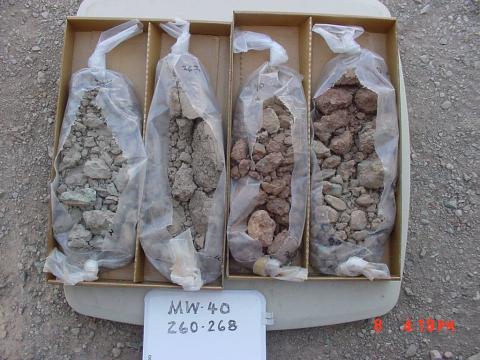 |
Soil core samples from monitoring well MW-40, the well in the median of Interstate 40, circa May 2004 |
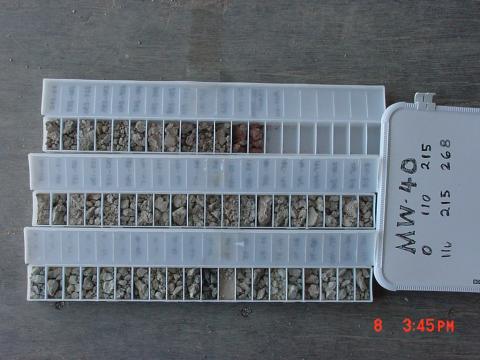 |
Cataloging core samples from the drilling of monitor well MW-40 |
 |
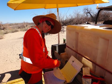
Recording water quality data during groundwater sampling at MW-34-80 |
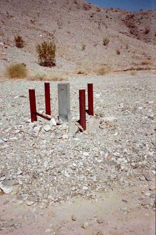 |
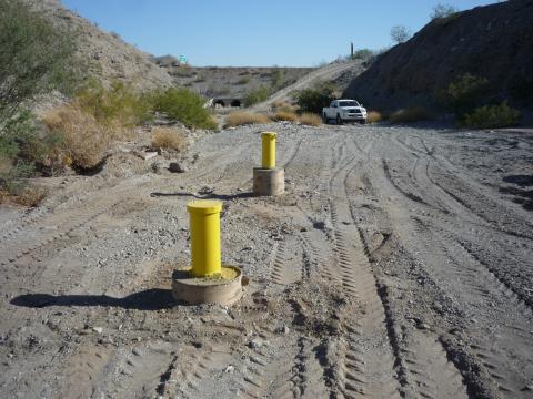
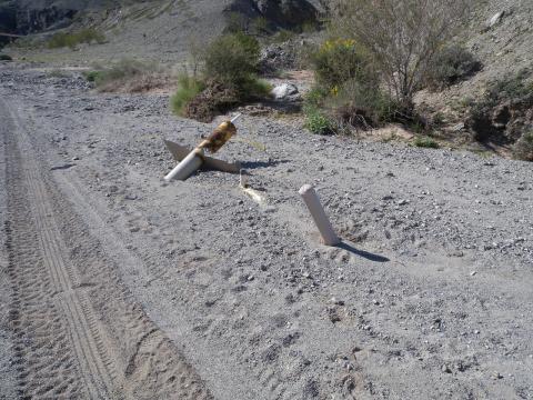
Monitoring Well in Bat Cave Wash prior to neutral painting |