 |
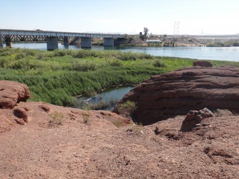
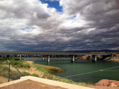
View of the wetlands and I-40 bridge, looking northeast |
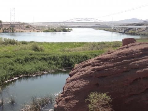 |
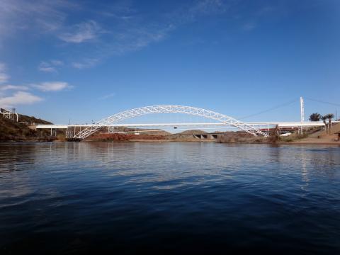
View from the wetlands toward the PG&E arch bridge, looking southeast |
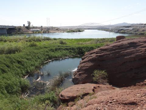 |
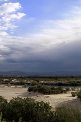
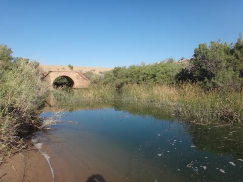
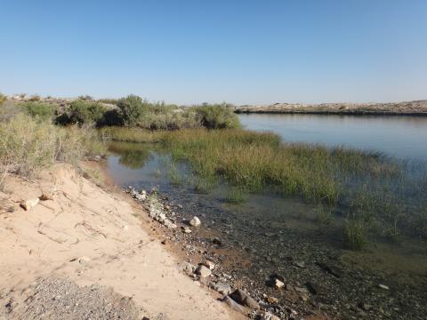
View of the wetlands (surface water sampling locations SW-1 and SW-2) toward the PG&E arch bridge, looking southeast |
 |
Another view towards the floodplain of the Colorado River from the MW-20 bench |
 |
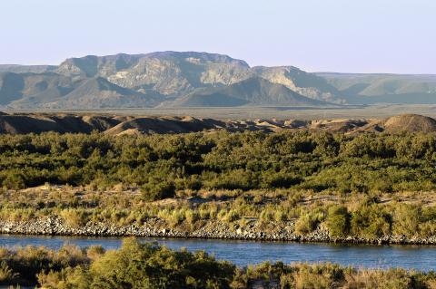
View towards the floodplain of the Colorado River from the MW-20 bench |
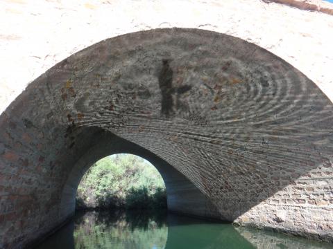 |
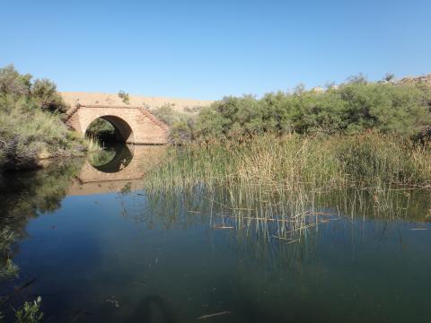
View underneath the Red Rock bridge looking west |
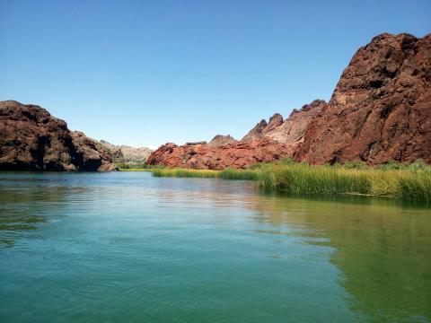 |
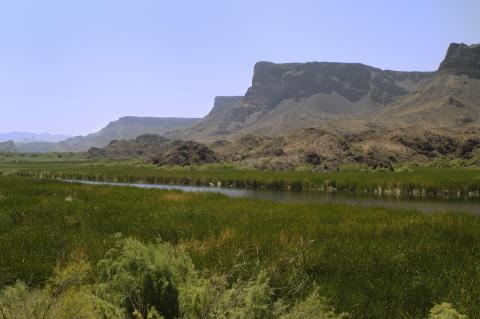
View from the Colorado River of the "Topock Gorge" |
 |
View of the Havasu National Wildlife Refuge near the Topock Site |
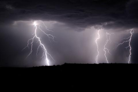 |
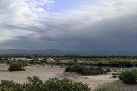
Summer monsoon storm near Topock |
 |
Close up view of historic Route 66 sign at the Topock Compressor Station |
 |
Another view of the Mouth of Bat Cave Wash and the Red Rock bridge looking West |
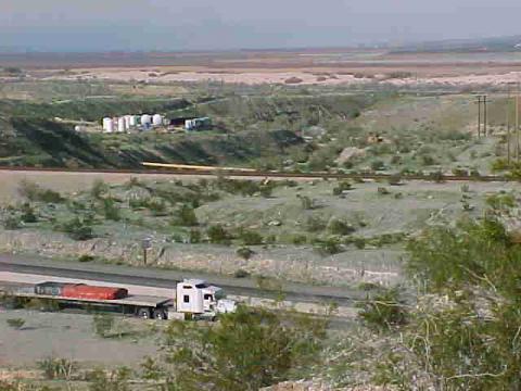 |
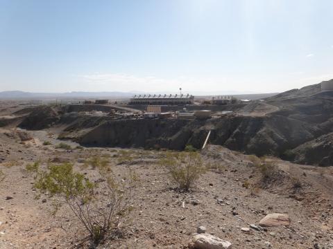
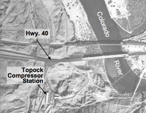
View from the Topock Compressor Station looking north to Interstate 40 and the IM-3 Treatment Plant during construction |
 |
Stormy skies above Interstate 40 and the Colorado River near the Topock Compressor Station |
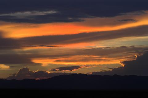 |
Sunset at Topock |
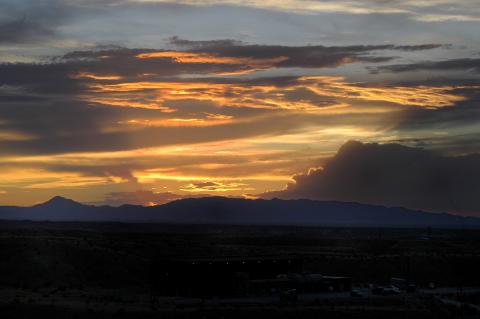 |
Sunset over the IM-3 treatment plant |
 |
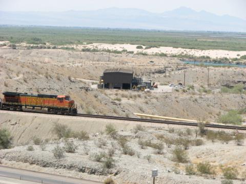
Topock Compressor Station looking East across Bat Cave wash |
 |
Mouth of Bat Cave Wash and the Red Rock Bridge looking West |
 |
View of historic Route 66 sign at the Topock Compressor Station |
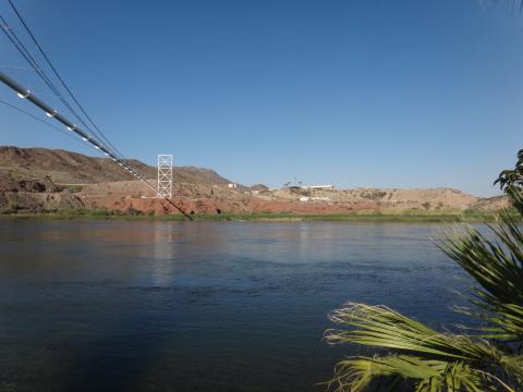 |
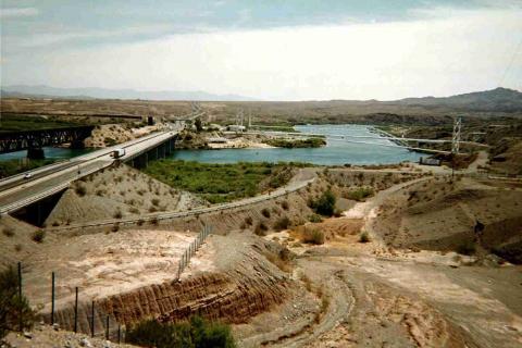
Looking west across the Colorado River from the Topock Compressor Station |
 |
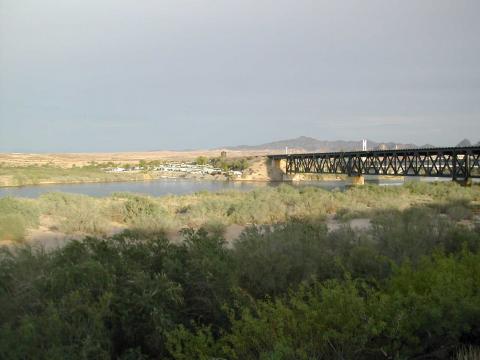
View from the Colorado River of the Old Trails Bridge |
 |
View from from the mouth of Bat Cave Wash looking North toward the Colorado River |
 |
Lower Bat Cave Wash looking North from the IM-3 culvert during a flash flooding event |
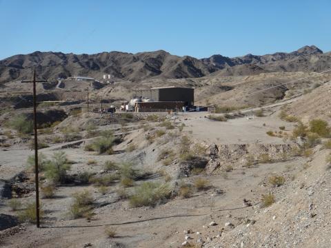 |
View of the IM-3 treatment plant looking south |
 |
View looking east toward the Colorado River from the Topock Compressor Station |
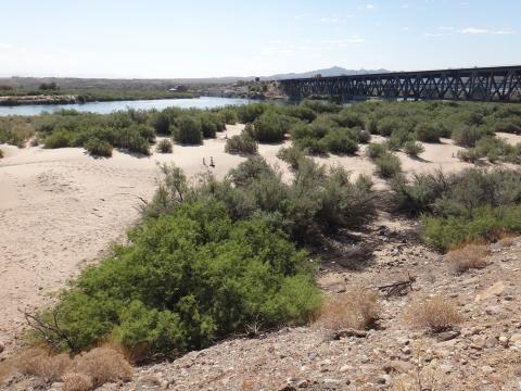 |
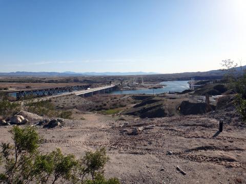
Flood plain and Railroad Bridge looking Southeast toward the Topock Marina |
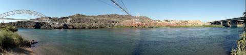 |
Panoramic view of the Colorado River looking West toward the Topock Compressor Station. |
 |
View of the Bill Williams River National Wildlife Refuge, approximately 40 miles southeast from the Topock Site |
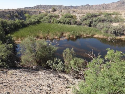 |
View of the beaver pond north of the Topock Compressor Station |
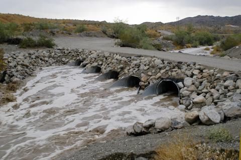 |
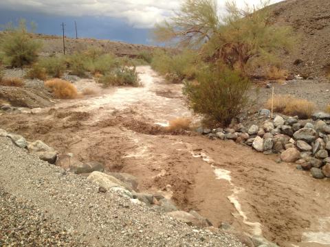
View of flash flooding in Bat Cave Wash culverts near the IM-3 treatment plant |
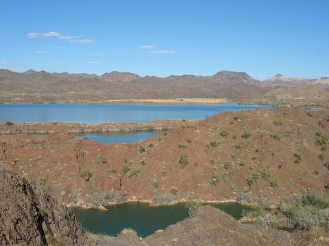 |
View looking northeast of the Bill Williams River National Wildlife Refuge, approximately 40 miles southeast from the Topock Site, March 2006 |
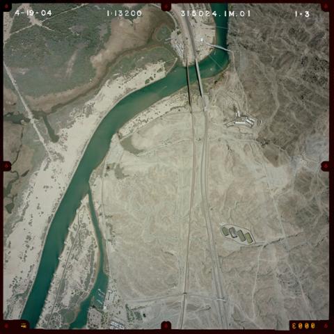 |
Aerial photograph the Topock Compressor Station and surrounding areas, April 2004 |
 |
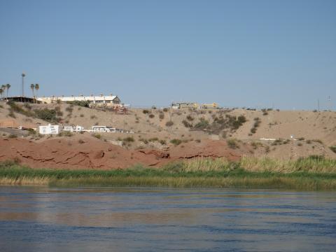
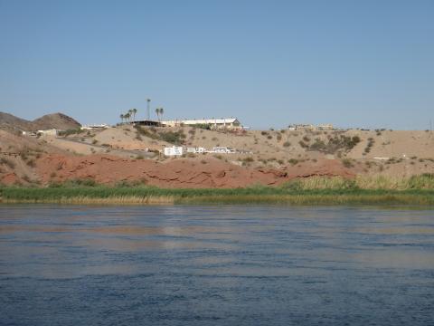
View across the Colorado River Floodplain toward the Topock Marina |
 |
Topock Site photograph of the Topock Compressor Station, I-40, and the Colorado River, January 2005. |
 |
View from the Topock Compressor Station of I-40 and the Colorado River, January 2005 |
 |
View from the Topock Compressor Station looking East |
 |
Aerial photo of the Topock Compressor Station and surrounding properties |